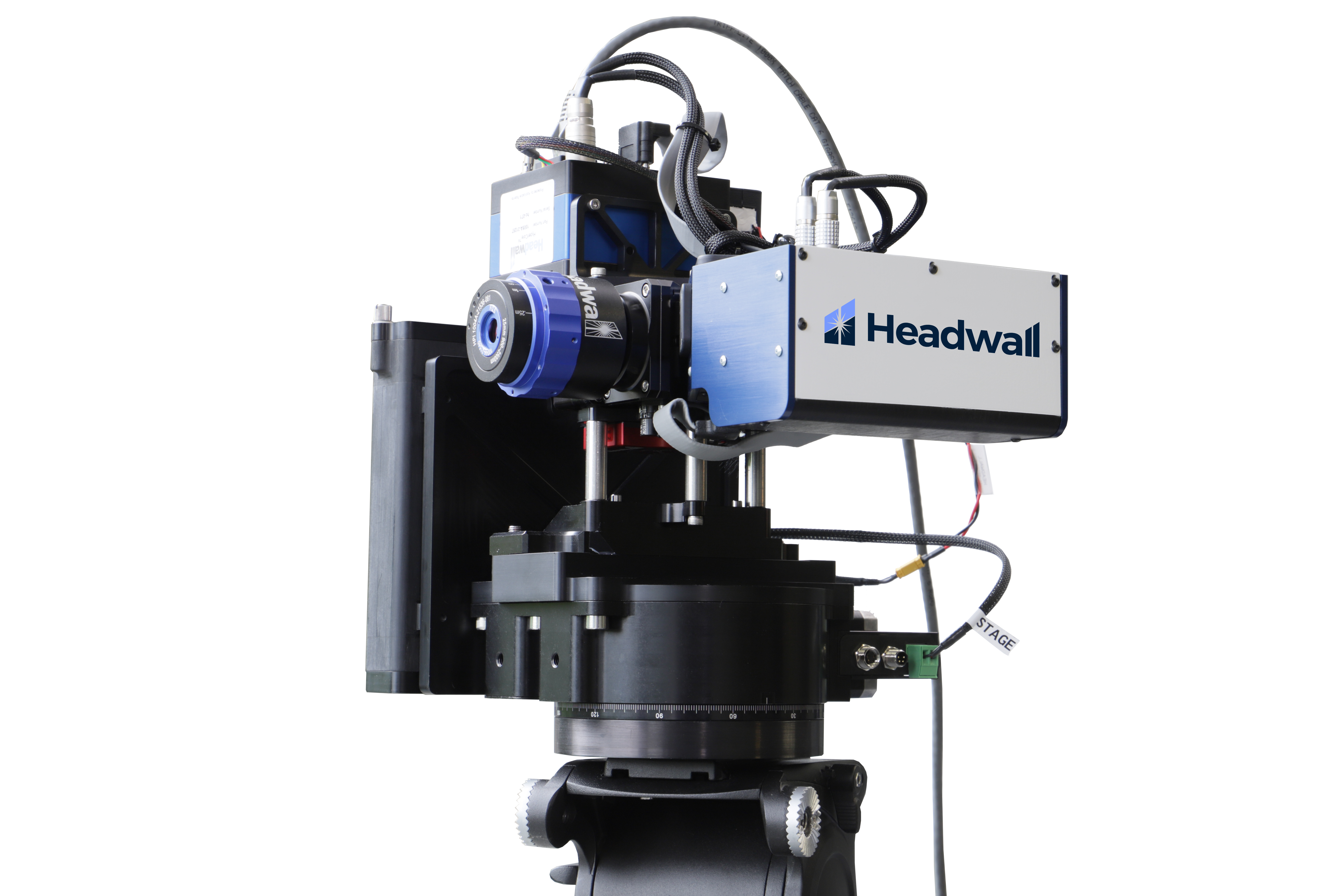
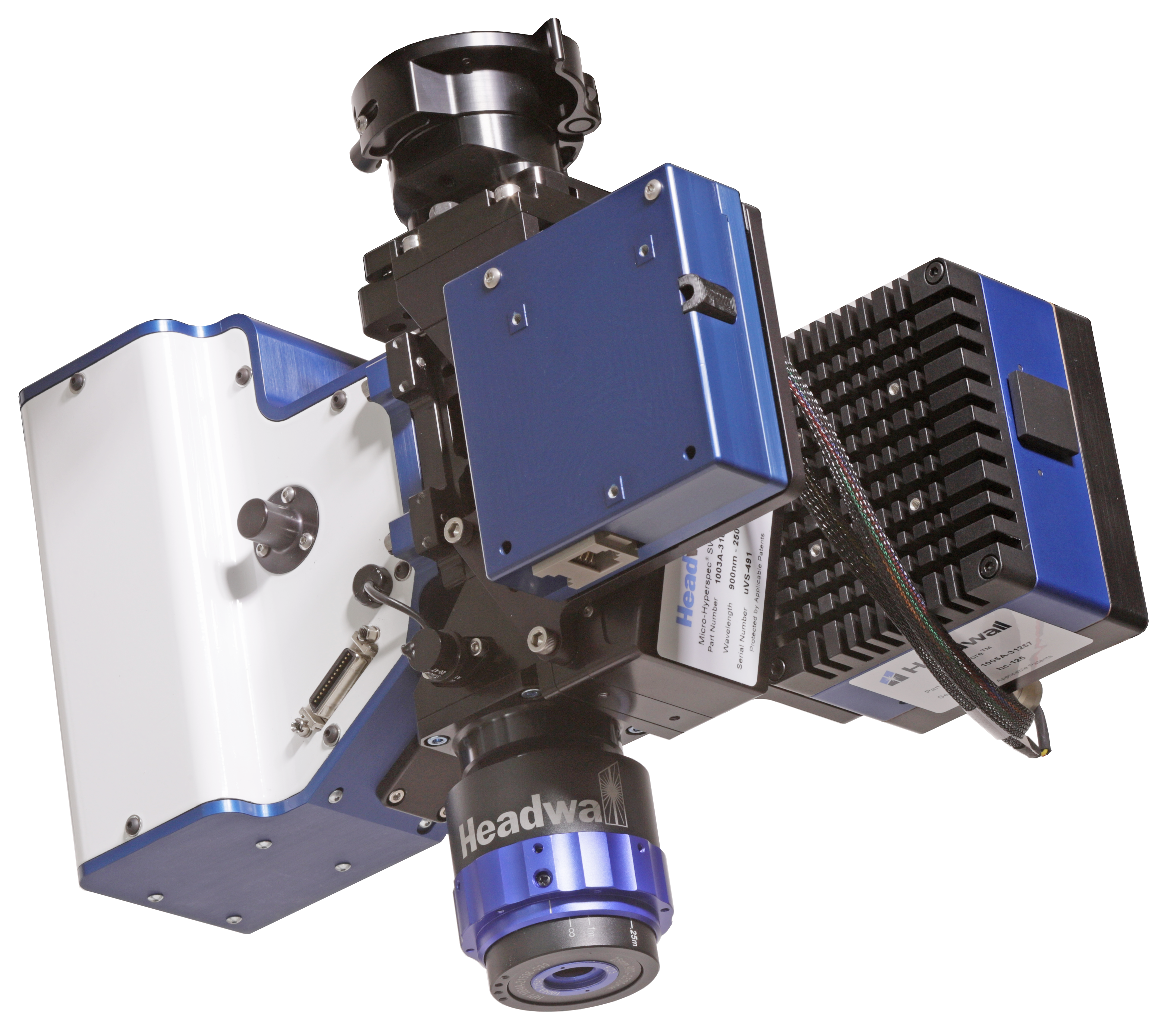
Headwall Photonics’ remote sensing systems are used by scientists and engineers in applications such as environmental monitoring, precision farming, geology, prospecting etc. The common denominator in such applications is the need for non-contact acquisition of spatial and spectral information related to an object or a spatial region of interest. Remote sensing makes it possible to collect spatial and spectral data in inaccessible or dangerous areas, and then analyze that data for crucial decision making. Environmental conditions, regional or local disasters, vegetation health, erosion, forestry, and land use can be imaged, tracked, and analyzed.

An Alta X drone configured with a Headwall Photonics Hyperspectral Imaging + LiDAR payload, shown in a precision-farming application
The technique used in Headwall Photonics’ hyperspectral imaging systems is described in the knowledge base article titled “Pushbroom Spatial Scanning HSI Technique“.
As described in the article, the field of view is imaged by a lens and a strip of light is captured through a narrow slit behind the lens. Light from each strip is dispersed by a diffraction grating across the focal plane of a camera, producing a (y, λ) image. As the sample moves past the camera a series of (y, λ) images is captured for each “x” position. Thus, every part of the field-of-view is scanned both spatially and spectrally and the resulting data is stacked by software into an (x, y, λ) data cube.
In remote-sensing applications a succession of “x” positions is generated by the movement of the instrument which may be mounted on aircraft, satellites or a rotary stage.
These imaging systems and sensors can be found in the field, aboard UAVs, manned aircraft, on Low-Earth-Orbit (LEO) satellites, and even in the International Space Station (ISS). Compared with less-capable color (RGB) or multispectral sensors, these hyperspectral imaging sensors are uniquely capable of capturing and accumulating valuable scene data with full spectral information on a per-pixel basis.
Headwall’s vertically integrated approach ensures that airborne packages contain spectral modules that have been built from the cleanroom to the workbench to testing on the bench and in the air. Every package is professionally calibrated and tested. This includes putting the package through a range of data-collection and data-processing exercises to assure the highest performance and most reliable operation. Users may purchase payload packages and add them to existing UAV platforms -or- they may take advantage of Headwall’s turnkey remote sensing packages that include selected drone platforms, including NDAA-compliant or Blue UAS models by Freefly.

![SWIR 640 on UAV and standalone SWIR 640 [900-2500nm] Hyperspectral Imaging for UAV based Remote Sensing](https://scientificimaging.com/wp-content/uploads/2024/03/SWIR-640-on-UAV-and-standalone.jpg)


